Contact us for help?
Contact with us through our representative or submit a business inquiry online.
Horizon Engineering uses FAA-licensed drone pilots and survey-grade aerial technology to capture accurate site data faster, safer, and at a lower cost than traditional ground methods alone. Whether you’re mapping a 200-acre parcel or documenting conditions on an active industrial site, our drone survey program gives you the data you need without the time, labor, and cost that come with walking every inch of the property.
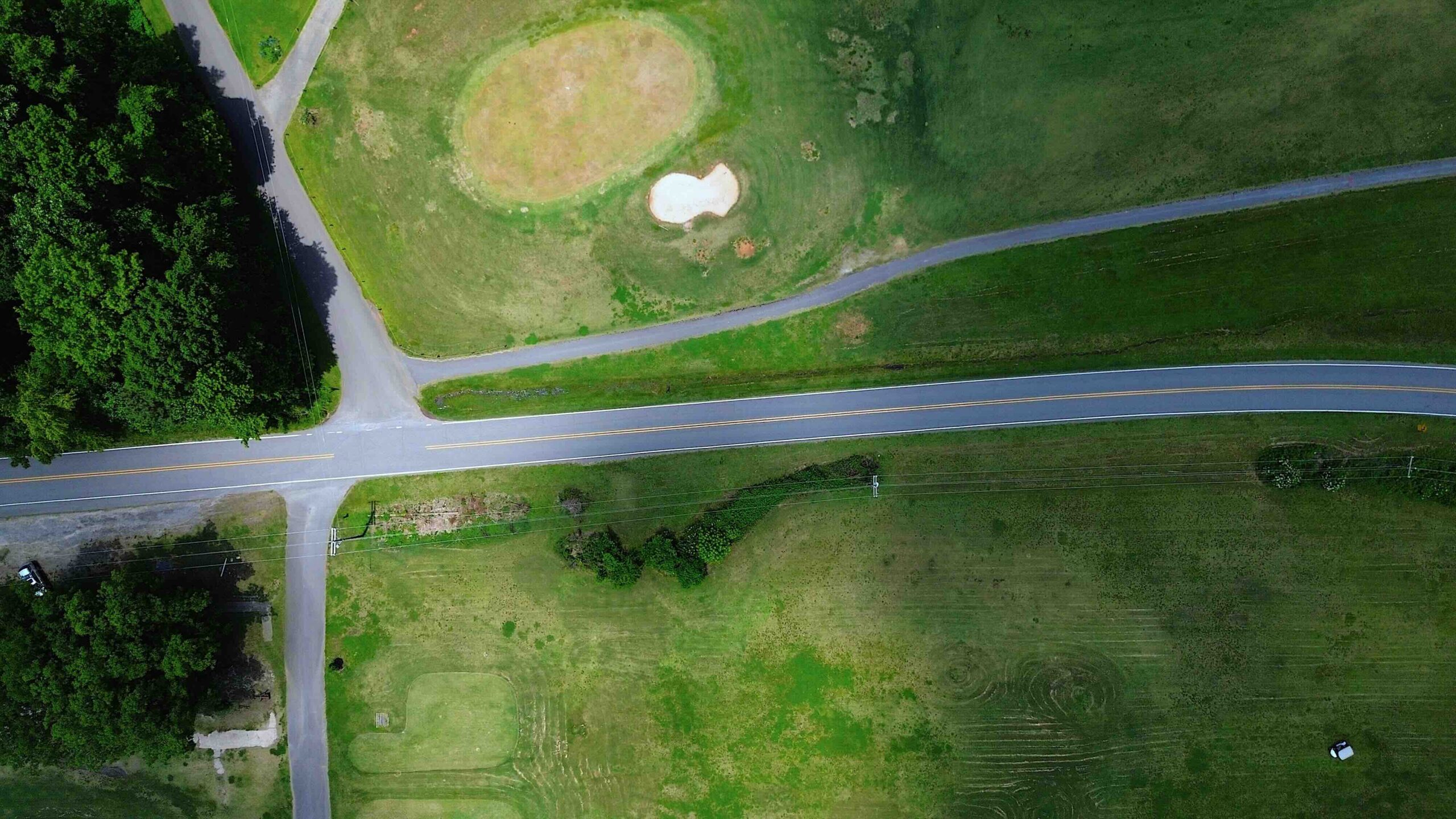
An aerial or drone survey uses an unmanned aerial vehicle (UAV) equipped with high-resolution cameras and GPS to capture imagery of a site from above. Our team processes that imagery into usable engineering deliverables, including:
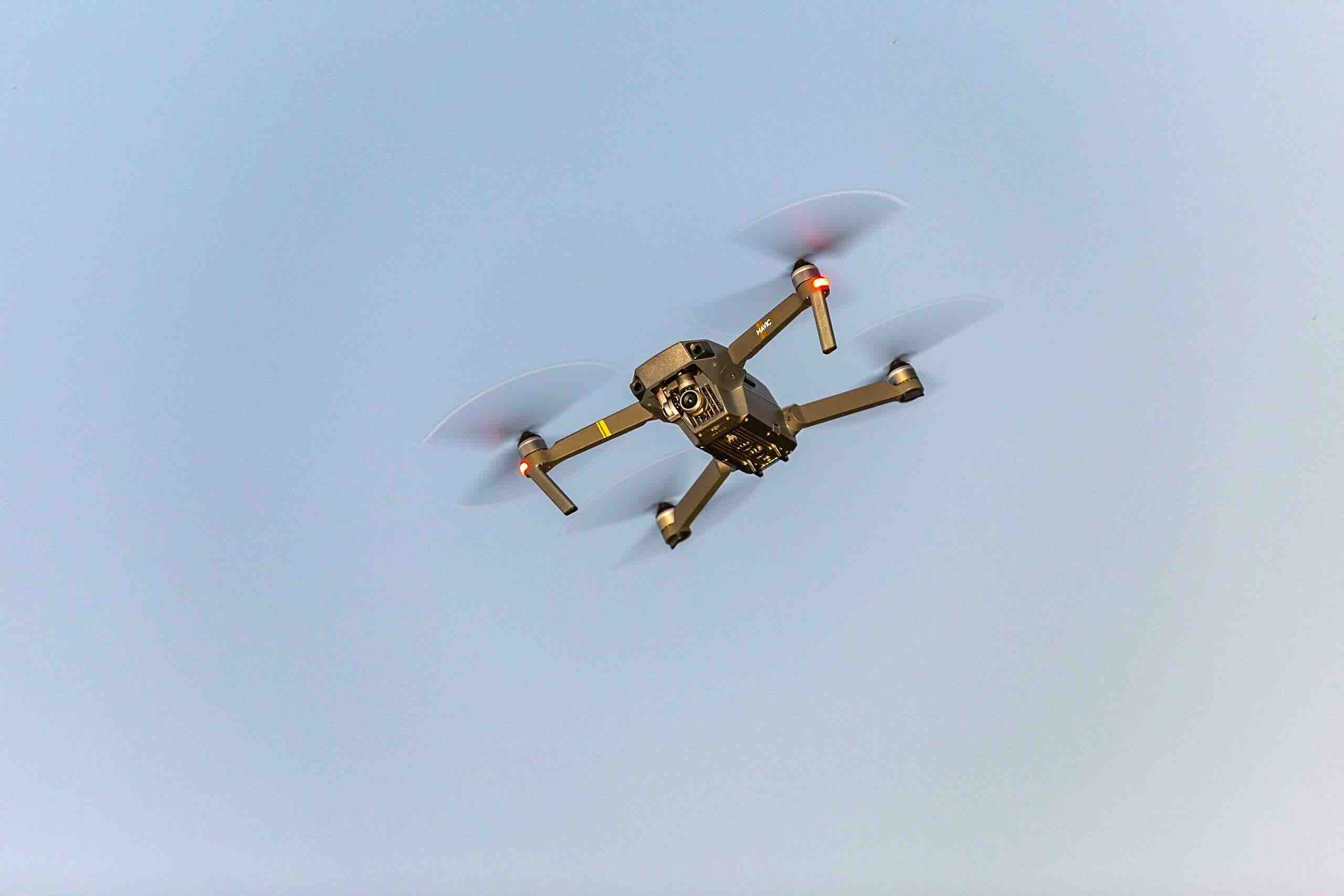
Traditional ground surveying of large or difficult sites means paying for crew time to physically walk, set up equipment on, and traverse every part of the property, often over several days. A drone can cover that same ground in a fraction of the time.
For industrial, commercial, and infrastructure clients, the value of a drone survey isn’t just speed; it’s safety. A drone can capture precise imagery and measurements of a stormwater basin, steep slope, active construction area, rooftop, or structure without a technician ever having to physically access it.
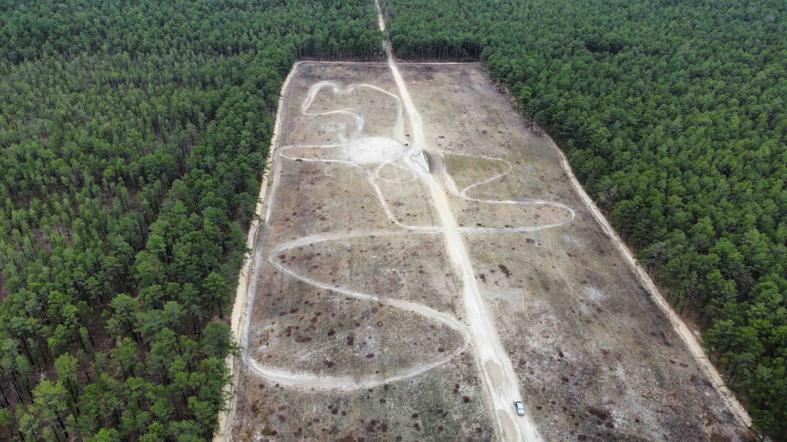
Because our drone flights are GPS-guided and can be pre-programmed, we can fly the exact same flight path and capture the exact same data points at different points in a project’s life; a huge advantage for tracking change over time.
Aerial data collection is only as good as the team behind it. Horizon Engineering has multiple licensed survey pilots, giving us the flexibility and capacity to schedule time-sensitive drone flights around your project’s timeline, not the other way around.
Aerial mapping gives developers and property owners a fast, accurate picture of a parcel before design work begins — capturing topography, existing features, and site boundaries across large or wooded properties without the time and cost of a full ground crew walkout.
From road and intersection improvements to park and recreational facility planning, drone-collected data helps municipalities and their engineers move projects from concept to design faster, with detailed, accurate site conditions captured in a single flight.
Active industrial sites often have areas that are hazardous, congested, or difficult to access safely on foot. Our drones capture the imagery and measurements needed for site planning, expansion, or compliance work without exposing a survey crew to those conditions.
Detailed aerial topography supports watershed analysis, drainage design, and floodplain studies, giving engineers the elevation and contour data needed to design effective stormwater controls across an entire site.
For brownfield and other environmentally sensitive properties, aerial imagery helps document vegetation, drainage patterns, and existing site conditions without a crew having to physically traverse contaminated or unstable ground.
High-resolution aerial imagery lets us inspect bridges, rooftops, and utility corridors up close, identifying wear, damage, or maintenance needs without the cost and risk of ladders, lifts, or scaffolding.
Regular drone flights over an active job site let project teams track earthwork, grading, and material volumes throughout construction, catching issues early and keeping projects on schedule and on budget.
Ready to see what a drone survey can do for your project? Contact Horizon Engineering to talk with our survey team about aerial mapping across Montgomery, Bucks, Berks, and Lehigh Counties.
Horizon Engineering: What It Takes

Located in Pennsburg, Pennsylvania, at the juncture of Lehigh, Bucks, Montgomery and Berks Counties.
428 Main Street
Pennsburg, PA 18073
(267) 923-8673
info@horizonengineers.com
Mon – Friday: 8am to 5pm